Apple Maps Blurs NASA, Space Force and US Military Bases
Date: November 1, 2026
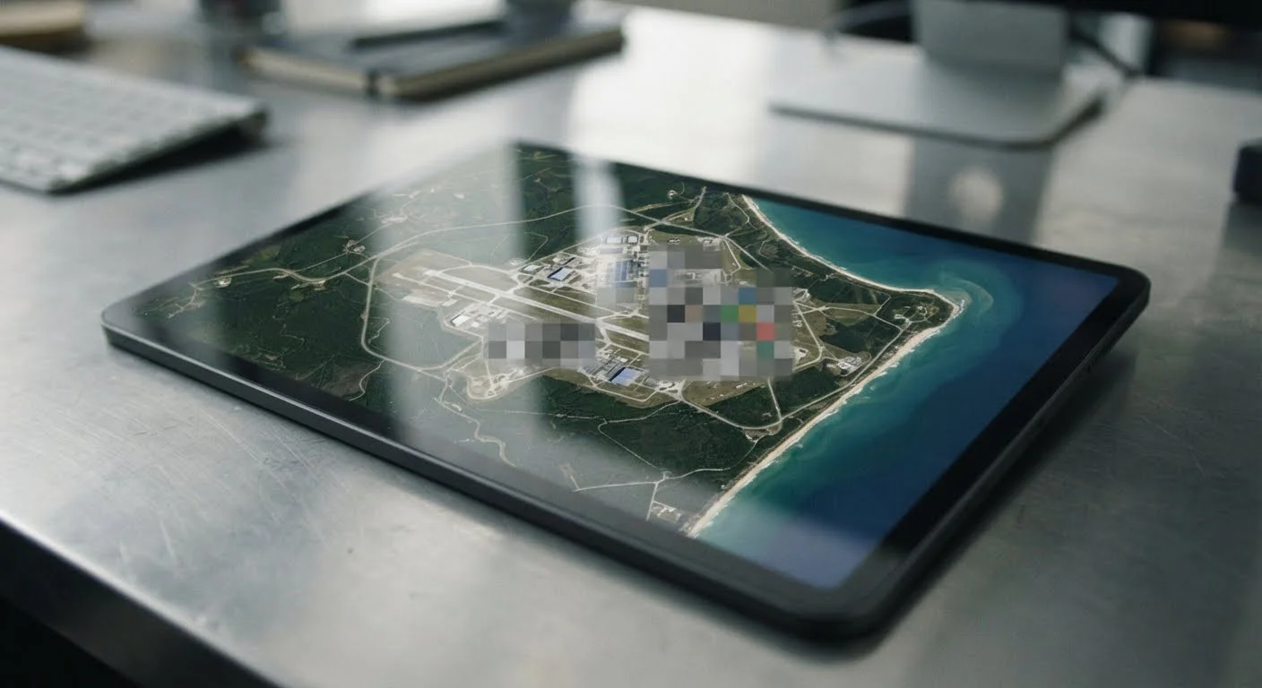
Apple Maps has begun blurring satellite imagery of selected US military bases, NASA facilities and Space Force installations, according to a Space Explored investigation published on October 30, 2026.
The changes emerged without a public announcement from Apple.
The restrictions affect strategic bomber bases, military launch facilities and research sites. Space Explored reported that Google Maps continues to display the affected installations without comparable blurring, revealing a difference between the two mapping services.
Military Bases and NASA Facilities Affected
The affected Air Force installations include Whiteman Air Force Base in Missouri, home to much of the US military’s nuclear-capable B-2 Spirit stealth bomber fleet, and Ellsworth Air Force Base in South Dakota, which operates B-1B bombers.
The changes also cover Cape Canaveral Space Force Station and Patrick Space Force Base in Florida, alongside Vandenberg Space Force Base in California. These installations support military space operations and launch infrastructure.
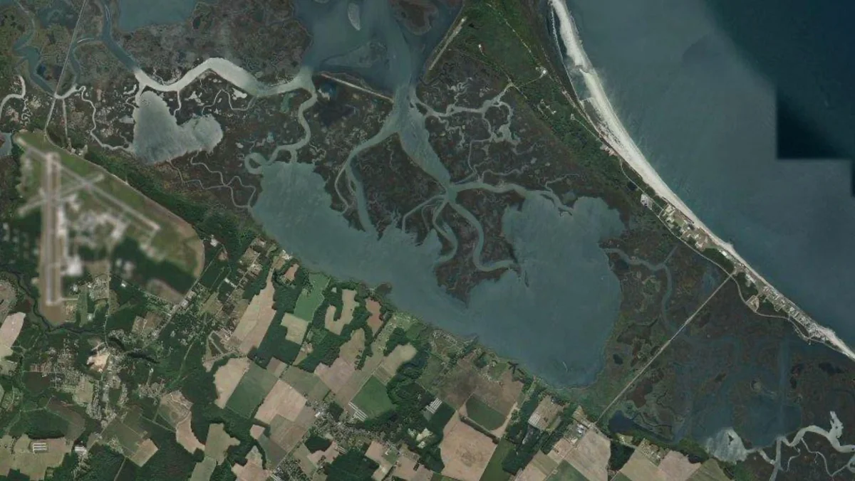
NASA facilities have also been affected. Apple has blurred Stennis Space Center in Mississippi and the airfield at Wallops Flight Facility in Virginia.
However, the coastal launch pads at Wallops remain visible, illustrating the selective nature of the restrictions.
Other obscured locations include Groom Lake, commonly known as Area 51, in Nevada and Los Alamos National Laboratory in New Mexico.
Several Major Installations Remain Visible
The restrictions do not cover every prominent defence installation. Space Explored identified Pearl Harbor, Naval Station Norfolk and Naval Station Great Lakes among the naval facilities that remain visible.
Dyess Air Force Base, another B-1B bomber installation, and Barksdale Air Force Base, associated with the B-52 fleet, also remain unblurred.
NASA’s Kennedy Space Center provides another contrast. Its LC-39A and LC-39B launch pads remain visible despite restrictions affecting nearby Space Force infrastructure.
These differences show that Apple’s imagery changes are selective rather than a complete blackout of American military and aerospace facilities.
Older Satellite Images Remain Accessible
Reports from Live Storm Chasers and Apple Maps users indicate that the restrictions are associated with 2026 satellite imagery. On some iOS devices, zooming to the maximum level reportedly displays older, unblurred imagery from 2025.
The reported behaviour suggests that different zoom levels may still retrieve imagery from separate datasets. It does not establish whether Apple deliberately designed this behaviour or whether it reflects an incomplete imagery update.
The changes also raise questions about the practical effects of imagery restrictions. Space Explored questioned whether navigation and Apple CarPlay continue to function normally within obscured installations, although the satellite imagery changes do not themselves demonstrate a navigation failure.
Apple’s Mapping Policy Remains Unclear
Apple has not publicly explained why particular facilities were selected or whether additional locations will be obscured. The reporting does not establish that the changes resulted from a government directive.
The continuing availability of clear imagery through Google Maps means the restrictions currently differ between providers rather than representing a universal removal of publicly accessible satellite views.
Whether Apple extends the restrictions to other installations, and whether older imagery remains accessible as map datasets change, are unresolved questions.