Kochi Proposes Major Land Use Revisions to Boost Growth
The Local Self Government department’s town planning wing has proposed major revisions to land-use regulations across five municipalities and six panchayats in Kochi. This regulatory shift aims to accommodate rapid urban expansion, paving the way for critical infrastructure, commercial ventures, and residential developments beyond current corporation limits.
Key Highlights
- Urban Expansion: Land-use modifications target five municipalities and six panchayats around Kochi to facilitate infrastructure growth.
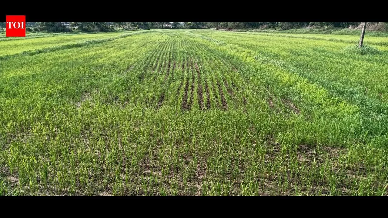
- Risk Categorization: Agricultural zones will be split into flood-prone and flood-free categories based on official disaster management hazard maps.
- Project Acceleration: Reclassifications aim to clear legal hurdles for mega projects, including the Judicial City, Logistics Park, and Infopark expansion.
- Environmental Debate: Activists urge caution following past flood lessons, while officials maintain that the modifications rely strictly on scientific safety data.
As urban growth continues to spill beyond corporation limits, the local self govt (LSG) department’s town planning wing has proposed changes to land-use regulations across five municipalities and six panchayats to facilitate new infrastructure, commercial and residential projects, and has asked the local bodies to identify projects and submit their suggestions on the proposals.
The proposal is part of the Central City–Kochi Structure Plan, a town planning scheme approved in 1991 to facilitate planned urban expansion. Under the proposed revisions, agricultural land will be classified into two categories, agricultural land with flood risk and agricultural land without flood risk.
Construction for public and private purposes will be permitted in agricultural land identified as free from flood risk, subject to the Kerala Conservation of Paddy Land and Wetland Act, 2008, Coastal Regulation Zone (CRZ) norms and building rules. The plan also proposes identifying land for new transportation corridors to support future road networks.
The move, initiated during the previous LDF govt’s tenure, has gained momentum under the new govt’s push for development in the district.
Thrikkakara, Kalamassery, Eloor and Maradu municipalities, along with the panchayats of Mulavukad, Cheranalloor, Varapuzha, Kadamakkudy, Njarackal and Elamkunnapuzha, have begun identifying areas for reclassification. Tripunithura municipality, governed by BJP, is yet to initiate the process.
Environmentalists, however, have cautioned against large-scale conversion of agricultural land, arguing that lessons from the 2018 floods should not be overlooked in the pursuit of development.
“Several problems, including drinking water shortages and pollution, are linked to the conversion of agricultural land. Govts must ensure better living conditions for future generations,” environmental activist Eloor Gopinath said.
LSG officials dismissed such concerns, saying the exercise is based on hazard maps prepared by the Kerala State Disaster Management Authority (KSDMA).
“Only agricultural lands that are not prone to flooding will be considered as no-risk agricultural zones. This will help resolve many disputes and facilitate development activities,” a senior town planning official said.
The LSG department has prepared preliminary zoning proposals and sought feedback from local bodies by June 27. Once the proposals are finalized and approved, GIS-based mapping will be carried out. While zoning classifies land into different use categories, mapping will assess its existing characteristics and environmental sensitivity.
Local body representatives said the revisions are necessary to address changing urban realities. Kalamassery municipality officials said the changes could help resolve long-pending disputes over land-use restrictions and facilitate projects such as the proposed Judicial City, Logistics Park, Infopark expansion and road widening schemes.
Thrikkakara municipality chairperson Rashid Ullampilly said the proposed changes would ease restrictions on residential construction in certain agricultural zones and facilitate building permits for plots with adequate road access. It has also sought the exclusion of Edachira, Thengode, Infopark and Thuthiyoor from the Green Zone to facilitate infrastructure and development projects in these areas. Maradu municipality has meanwhile opposed proposals to widen NX Joseph Road in Kundannoor, citing practical difficulties. The civic body has also sought reclassification of certain CRZ areas, arguing that existing restrictions limit residential development even on small landholdings.
Future Outlook
The finalizing of these spatial strategies will heavily dictate the real estate and industrial footprint of greater Kochi over the next decade. Transitioning from the decades-old plan into modern GIS-mapped zoning ensures that future construction tracks cleanly with environmental mandates. However, local resistance regarding specific road widenings and CRZ adjustments indicates that final approvals will require careful negotiation between state urban planners and municipal councils.
FAQs
What is the Central City–Kochi Structure Plan?
The Central City–Kochi Structure Plan is a master town planning scheme originally ratified in 1991 designed to manage and direct urban growth systematically across the expanding Kochi peripheral regions.
How will agricultural land be classified under the new rules?
Agricultural zones will be bifurcated into two distinct classifications: areas with documented flood risks and areas free from flood risks, allowing safer development in the latter.
Which specific projects stand to benefit from these zoning adjustments?
Key regional development projects such as the proposed Judicial City, a dedicated Logistics Park, the phase expansions of Infopark, and multiple critical road widening schemes stand to benefit.
Why are environmental activists raising concerns over the plan?
Activists express concern that extensive conversions of agrarian land could trigger severe drinking water deficits, increased pollution levels, and overlook critical safety lessons learned during the devastating regional floods of 2018.