India Monsoon Expands Amid Delhi 51°C Heatwave
The India Meteorological Department reports steady monsoon progression across several regions, offering local respite. However, intense humidity and high temperatures continue to generate volatile weather conditions throughout northern and central India, pushing heat indices to dangerous levels in urban centers.
Key Highlights
- Monsoon progression accelerates through central and northern regions over the next 3 to 4 days.
- Delhi hits a seasonal record feel-like temperature of 51.3°C due to 45% to 63% relative humidity.
- Heavy rainfall alerts are active for West Bengal, Assam, Sikkim, and Himachal Pradesh.
- Severe heatwave conditions are forecast to persist across Uttar Pradesh for the next 2 days.
Conditions also look favourable for the advancement of monsoon into parts of North Arabian Sea, Gujarat, Madhya Pradesh, Chhattisgarh, Jharkhand, Bihar, Uttar Pradesh and Uttarakhand over the next 3-4 days.
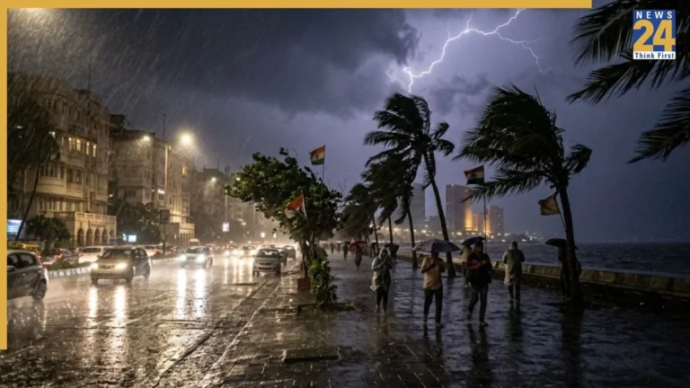
Widespread precipitation, accompanied by intense electrical storms, is projected to impact West Bengal on June 28, 2026.
Substantial downpours and lightning will persist across multiple territories as the southwest monsoon crosses Surat, Indore, Mandla, Daltonganj, and Motihari, according to official meteorological metrics.
Atmospheric parameters support monsoon entry into sections of the North Arabian Sea, Gujarat, Madhya Pradesh, Chhattisgarh, Jharkhand, Bihar, Uttar Pradesh, and Uttarakhand within 3 to 4 days.
The interplay between an active monsoon phase and lingering El Niño dynamics is fueling severe weather disparities, leaving specific northern and central pockets trapped in intense heatwaves.
Rain forecast today
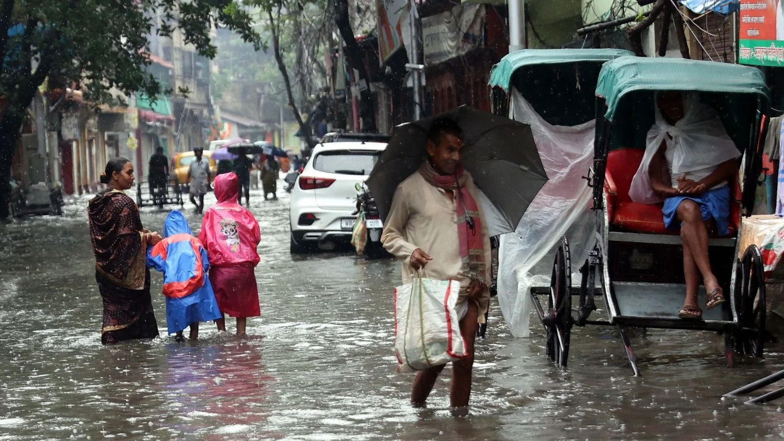
Forecasters anticipate heavy to very heavy downpours, with potential localized extremes, across Assam, Meghalaya, sub-Himalayan West Bengal, and Sikkim on Sunday.
Torrential rain is additionally tracking toward Arunachal Pradesh, Nagaland, Manipur, Mizoram, Tripura, Odisha, Kerala, Mahe, Tamil Nadu, Puducherry, Karaikal, Telangana, Vidarbha, the Andaman and Nicobar Islands, Bihar, Chhattisgarh, coastal Andhra Pradesh, coastal Karnataka, Konkan, Goa, and Lakshadweep.
Meanwhile, Himachal Pradesh is experiencing renewed monsoon momentum. Towns like Kangra, Dharamshala, and Kullu have registered steady downpours, bringing immediate heat relief.
Local meteorologists issued a yellow alert from July 1 to July 3 for Bilaspur, Solan, and Sirmour, expecting 64.5 mm to 115.5 mm of rain. Authorities have warned residents to avoid landslides and rising river channels. Temperature variations remain stark in the hills; Lahaul-Spiti’s Kukumseri recorded a low of 8°C, while Paonta Sahib reached a maximum of 40°C.
Thunderstorms and lightning activity
Widespread electrical disturbances, lightning, and strong wind gusts are expected to sweep across central, western, and southern territories on June 28.
Impacted zones encompass isolated sections of Andhra Pradesh, East Rajasthan, Bihar, East Uttar Pradesh, Madhya Pradesh, Gangetic West Bengal, Jharkhand, Kerala, Mahe, Konkan, Goa, Lakshadweep, Maharashtra, Odisha, Tamil Nadu, Puducherry, Karaikal, coastal Karnataka, Himachal Pradesh, Sub-Himalayan West Bengal, Sikkim, Uttarakhand, Telangana, and West Rajasthan.
Similar convective activity, barring high surface winds, will develop over northeastern states, Punjab, and Chhattisgarh.
Strong coastal currents will buffet Karnataka, while isolated zones in the Andaman and Nicobar Islands face severe thundersqualls with wind speeds accelerating between 50 and 60 kmph.
Heatwave forecast today
Concurrently, Bihar, Haryana, Chandigarh, and Delhi remain under intense heatwave conditions on June 28.
The capital city experienced a grueling combination of moisture and heat, driving the apparent “feel-like” temperature to an unprecedented 51.3°C. The primary Safdarjung observatory logged an air temperature of 41.3°C, which stands 4°C above the historical average.
This oppressive environment stems from a suffocating afternoon relative humidity range of 45% to 63%, breaking previous heat index records of 48.2°C logged on May 28 and June 10. Meteorologists trace this moisture influx to southwesterly winds coming from the Arabian Sea across Pakistan.
The city’s peak wet-bulb temperature reached 29.77°C, nearing the 32°C threshold where natural human cooling fails. Overnight temperatures offered no comfort, hovering at 30.8°C, about 3°C above normal. Relief is anticipated late Monday as regional winds and scattered rains trigger a cooling trend down to 33°C or 35°C.
Extreme heatwave risks are projected to intensify into severe classifications across Uttar Pradesh over the coming 2 days.
Future Outlook
The collision of late-stage El Niño atmospheric patterns with the oncoming southwest monsoon points to an unstable summer termination for 2026. While the delayed arrival of regional rains across the National Capital Region and northwestern plains will gradually suppress extreme daytime maximums by early July, the initial convergence is triggering hazardous humidity spikes and severe convective storms. Agricultural and municipal bodies are bracing for highly localized, extreme rainfall events that risk flash flooding in mountainous northern states while central belts catch up on seasonal deficits.
FAQs
What was the maximum heat index recorded in Delhi?
Delhi recorded a peak heat index, or “feel-like” temperature, of 51.3°C due to a combination of high ambient temperatures and localized relative humidity between 45% and 63%.
Which states are under heavy rainfall alerts?
The IMD has issued heavy to extreme rainfall warnings for Assam, Meghalaya, sub-Himalayan West Bengal, and Sikkim, alongside yellow alerts for multiple districts in Himachal Pradesh including Bilaspur, Solan, and Sirmour.
Where is the monsoon expected to advance next?
The southwest monsoon is projected to move into parts of the North Arabian Sea, Gujarat, Madhya Pradesh, Chhattisgarh, Jharkhand, Bihar, Uttar Pradesh, and Uttarakhand over a 3 to 4-day window.
What is causing the severe weather contrast across India?
The coexistence of an active monsoon current alongside lingering El Niño atmospheric patterns is creating highly uneven weather, triggering severe downpours in some states while fueling intense heatwaves in others.