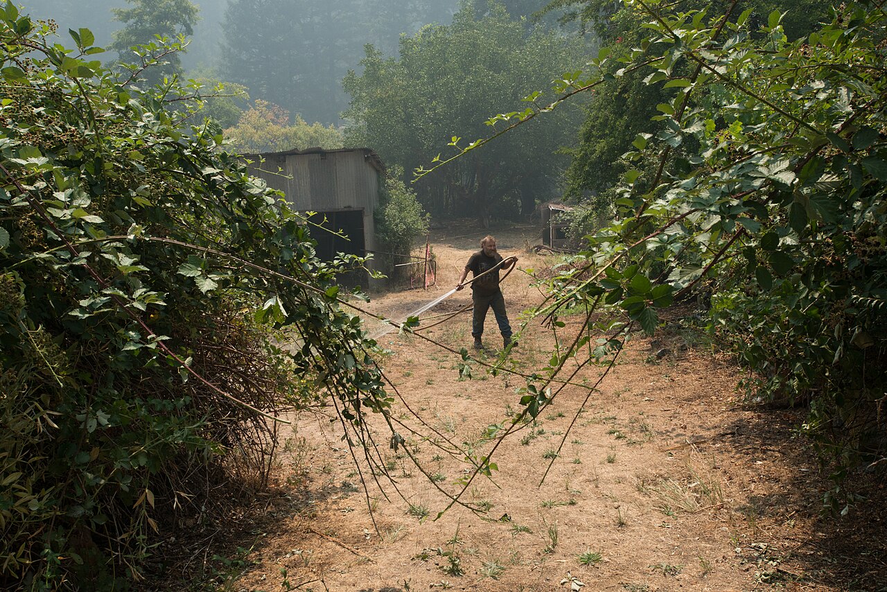
Soda Fire 40% Contained at 14 Acres in Siskiyou County
Key Takeaway: The 14-acre Soda Fire on the Klamath National Forest is 40% contained; crews are strengthening lines in steep terrain near the Klamath River community.
The Soda Fire burning on the Klamath National Forest in Siskiyou County has reached 40% containment at 14 acres, with firefighters strengthening lines in steep terrain, KOBI5 reported on October 20.
Steady progress in steep country
The fire sits just west of Sterling Mountain, about 10 miles north of the Klamath River community. Firefighters are making good progress, working to safely strengthen containment lines in challenging conditions with steep terrain, KOBI5 reported.
The U.S. Forest Service said the fire started Sunday evening around 9:42 p.m. on October 18. By Monday morning, October 19, crews had laid hose around the perimeter. Additional resources, including a bulldozer, four crews, a team of tree fallers and two engines, were expected to arrive Monday morning to assist with firefighting efforts, according to KRCR. KRCR reported that the fire was 40% contained as of 9 p.m. on October 19, attributing the update to the Forest Service.
KRCR’s photo caption gave 12 acres as of Monday, October 19, while its article described the fire as having burned just under 14 acres; the sources do not explicitly confirm growth between updates. Across the border in Oregon, the West Fork Evans Creek Fire was reported at 45% containment and 283 acres late Monday, according to Your Oregon News.
Key Story Metrics
| Figure | Reported Status |
|---|---|
| Size | 14 acres (KOBI5, October 20, 2026) |
| Containment | 40% (KRCR, reporting the Forest Service update, October 19, 2026) |
| Start | Oct 18, around 9:42 p.m. (USFS via KRCR) |
| Location | west of Sterling Mountain, about 10 miles north of the Klamath River community (KOBI5) |
| Resources | Bulldozer, 4 crews, tree fallers, 2 engines (KRCR, October 19, 2026) |
✓ Verified
• Soda Fire on the Klamath National Forest, Siskiyou County, just west of Sterling Mountain, ~10 miles north of Klamath River community.
• Just under 14 acres, 40% contained as of 9 p.m. October 19 (KRCR); 14 acres as of October 20 (KOBI5).
• Started Sunday, October 18, around 9:42 p.m., per the U.S. Forest Service.
• Crews laid hose around the perimeter by Monday morning, October 19.
• Resources: bulldozer, four crews, tree fallers, two engines; crews strengthening firelines and mopping up hot spots.
• Cause under investigation.
⚠ Still needs confirmation
No further details are confirmed at this time.
Editor’s note: Fire figures are per the latest agency updates cited; the cause remains under investigation.